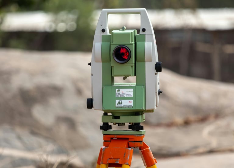
Professional Land Surveying

Saty Surveys offers expert land surveying and allied services in All Over India.

Expert Land Surveyors

Dedicated professionals providing accurate land surveying services tailored to your needs.

GIS and Mapping

Advanced GIS techniques for precise mapping and analysis of land data.

Engineering Support Services

Comprehensive engineering support to enhance your land surveying projects effectively.

Our Services

Expert land surveying services across all over india region offered.

  • Topographic Survey

  • Boundary Survey

  • Contour Mapping

  • Volume Calculation

  • Column/Grid Line Marking

  • Hydrographic Survey

  • Control Point Establishment

  • Ground Penetrating Radar

  • Coordinate Measurement (X, Y, Z)

  • Control Point Establishment

  • Road Centerline Marking

  • Angle Measurement (Horizontal/Vertical)

  • Traversing

  • Detailing/Point Collection

  • Setting Out/Stakeout

  • Leveling

  • Elevation Measurement

  • Distance Measurement

  • As-built Survey

  • Reference Point Verification

  • Offset Marking

  • Curve Setting (for roads/rails)

  • Levelness Test

  • Deflection Measurement

  • Alignment Check

  • Plumb Line Verification

  • Squareness Check

  • Flatness Test

  • Verticality Check

  • Datum Verification

  • Repeatability Check

  • Benchmark Verification

  • Parallelism Check

  • DGPS Machine – Survey Work

  • Real-Time Positioning (RTK) Survey

  • Baseline Measurement

  • Coordinate (X, Y, Z) Collection

  • Geodetic Surveying

  • Boundary Survey

  • Mapping and Contouring

  • Geospatial Data Collection

  • Route surveying (for roads, pipelines, etc.)